The Faroe Islands – a perfect destination for hiking
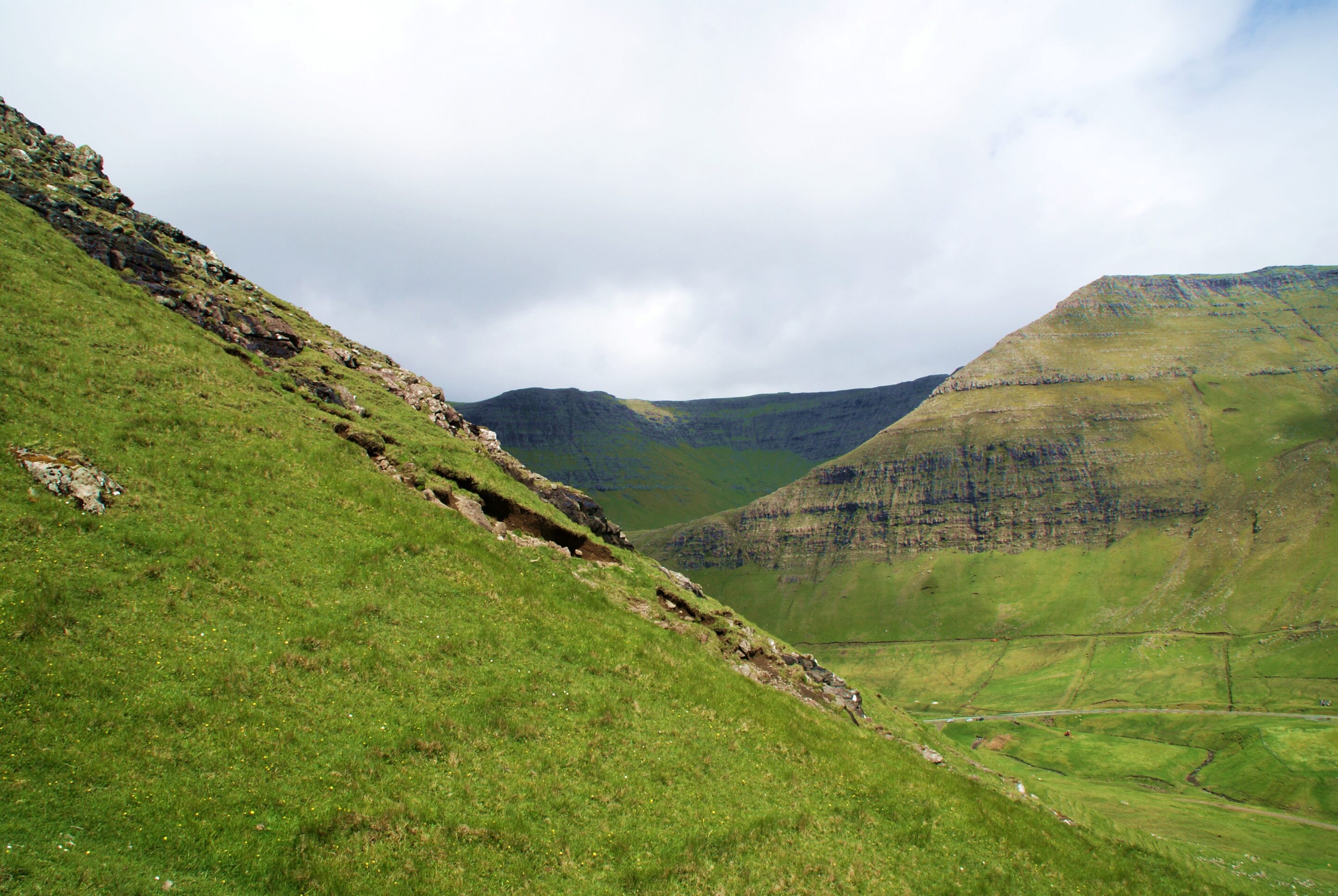
The Faroe Islands are made up of 18 mountainous islands with diverse and uniquely unforested landscapes, and are the perfect destination for hiking enthusiasts. You will find vast stretches of green lowlands, reaching up to precipitous peaks and dramatic coastal cliffs plunging into the sea, along with a rich and exciting fauna. For an excellent hiking guide, go to the Visit Faroe Islands website for 23 suggested routes. Most hikes will take you to breathtaking viewpoints, a true reward for your hard labour. When I visited the Faroe Islands in June, I hiked from Bøur to Gásadalur, a trip with fascinating history and some of the most spectacular viewpoints and photo opportunities.
Promotional collaboration
One of the Faroe Islands most exciting hikes
For centuries, Gásadalur was one of the most remote and isolated villages on the Faroe Islands, and the path from Bøur village to Gásadalur provided the only connection between the two until 2004, when the tunnel to Gásadalur was opened. Perched on the top of a sea cliff, the village was also difficult to access by boat, so the only method of transport apart from walking was by helicopter, introduced in 1983. The postman is said to have walked this route three times a week, year in and year out, until the tunnel was completed.
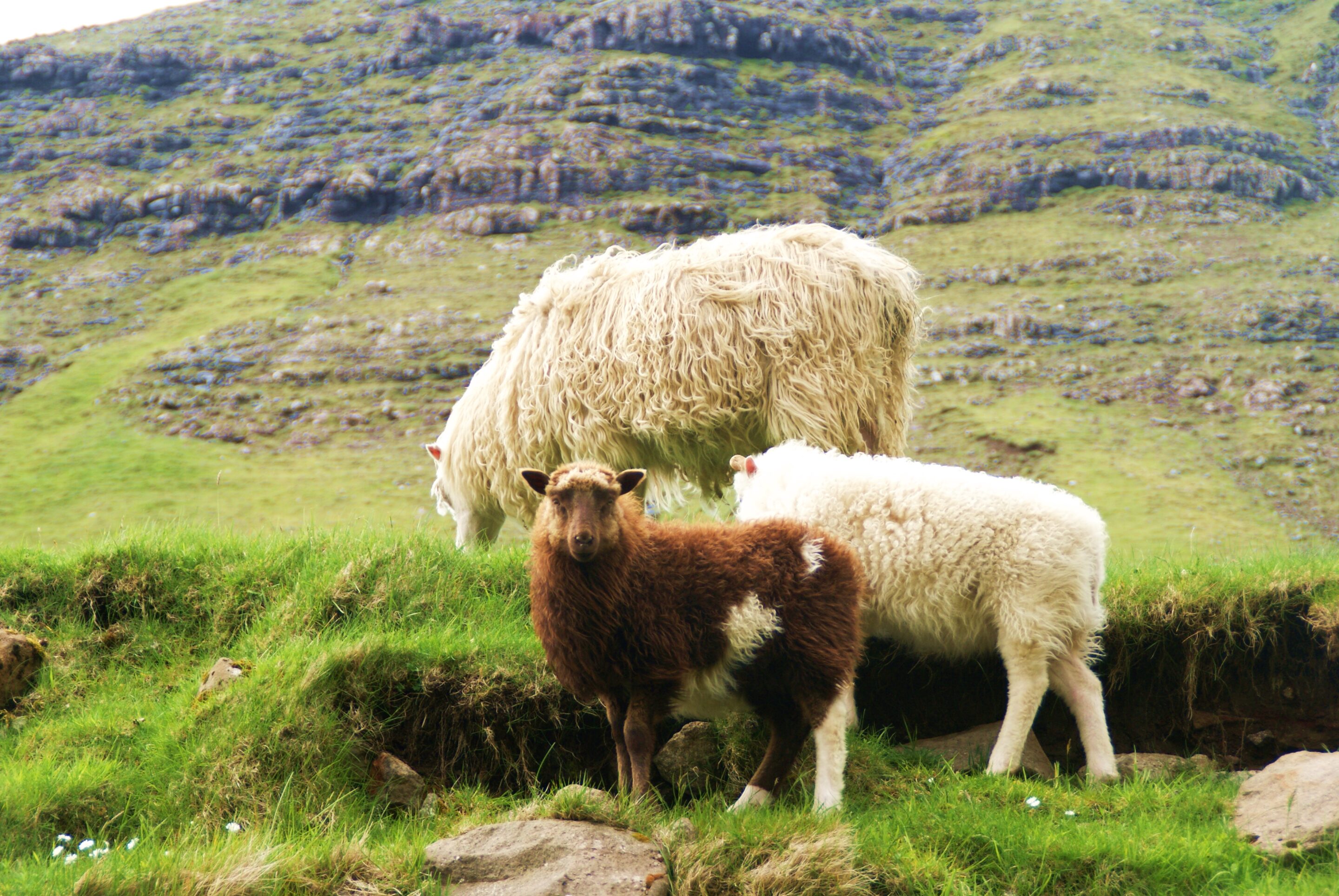
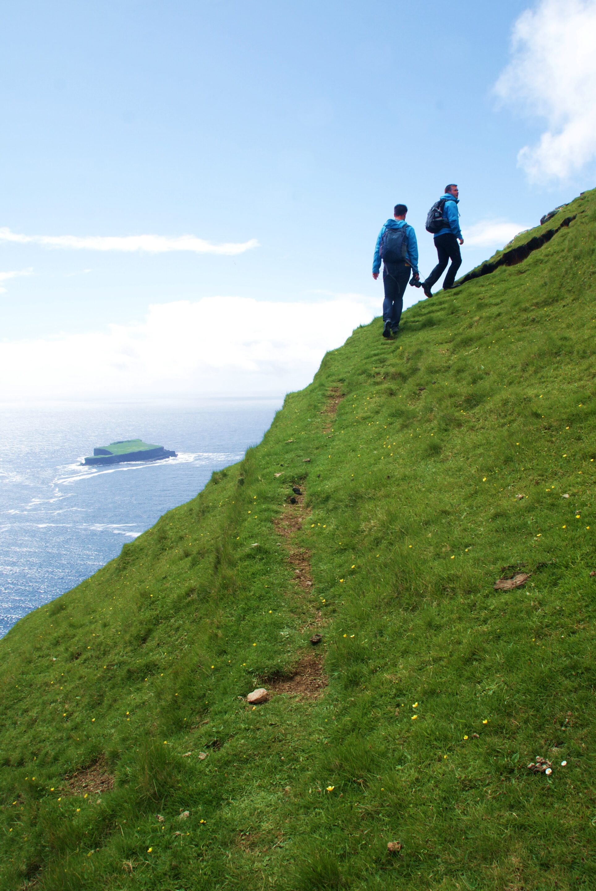
The hike starts some 3 km west of Bøur, leading initially along the foot of the mountain facing the sea. As you look upwards, you will clearly see the path as it zig-zags its way up the steep, grassy mountainside. As you start to climb, you are likely to meet some of the locals on the path, the sheep grazing in the area, an important part of keeping the cultural landscape.
Walk carefully and don’t forget to enjoy the view
The first stretch of this path is relatively difficult, climbing up steep ground. Luckily, the narrow path takes you up in zig-zags so you don’t have to struggle directly upwards. Parts of the route and some of the sharp bends take you close to the precipitous cliffs that plummet down to the sea, so please take extra caution and watch your step in these areas.
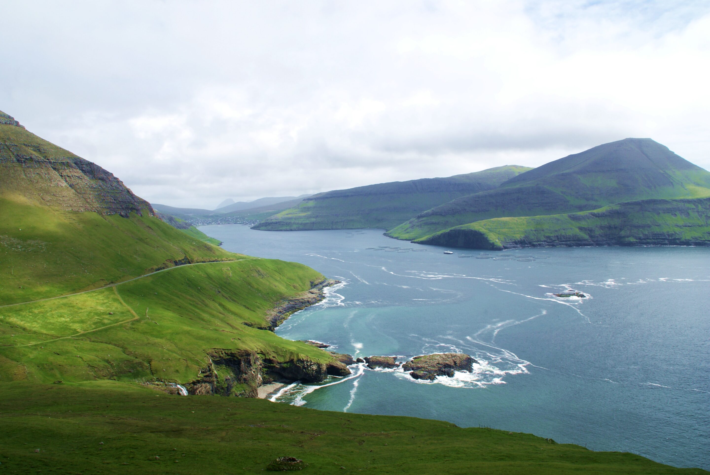
Don’t forget to take a breather, turn around and take in the outstanding views of the islands around you! The panorama views take in Sørvágsfjørður fjord and the islands of Tindhólmur, Gáshólmur and Mykines.
At one with nature and wildlife
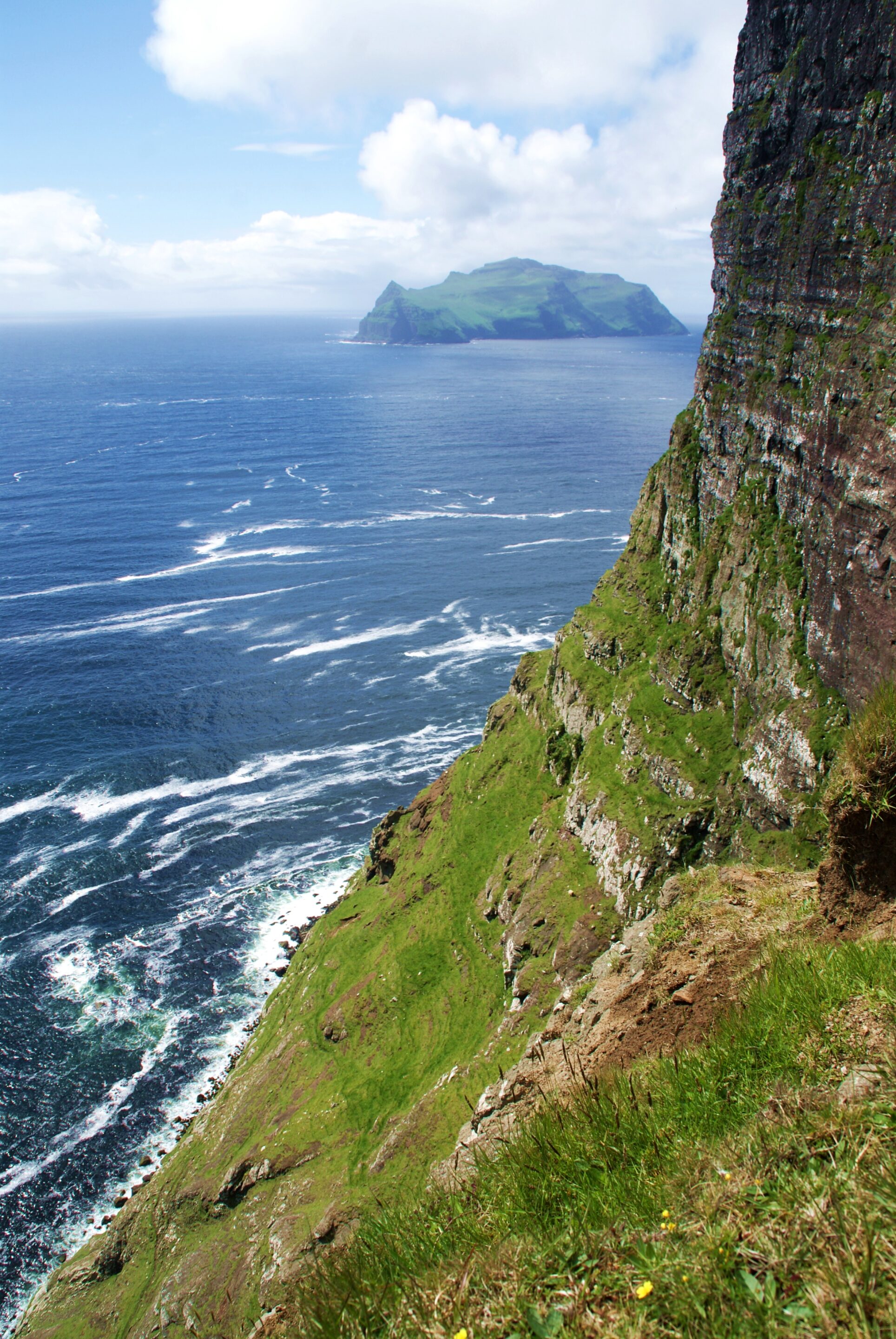
As the path takes you so close to the clifftops, you not only get stupendous views but also a real feeling of height and a kick of adrenalin the closer you get to the edge.
The photo on the right shows one of parts where the path gets closest to the clifftop. If you are very careful, you can peek over the edge to see the large flocks of seabirds nesting on the cliffs, flying to and fro carrying food and materials for their nests.
Historical plaques along the postal route
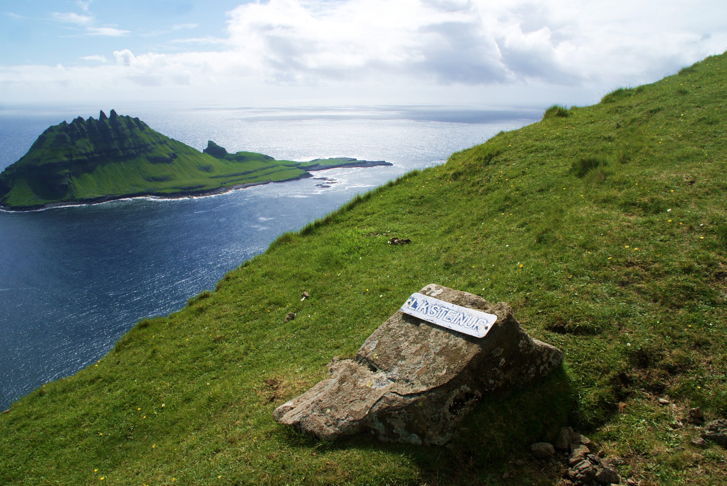
Along the route, you will come across several plaques all with interesting stories behind them. The first plaque you see is almost at the top of the path and is on a stone, with the name “Liksteinurin”. The stone marks the only spot where pallbearers of old were allowed to put down the coffin they were carrying and rest on the path from Gásadalur – which in those days had neither a church nor a graveyard – to Bøur. The stone approximately marks the halfway point between the two villages, and must have been an extremely welcome resting point for those pallbearers, on an arduous journey.
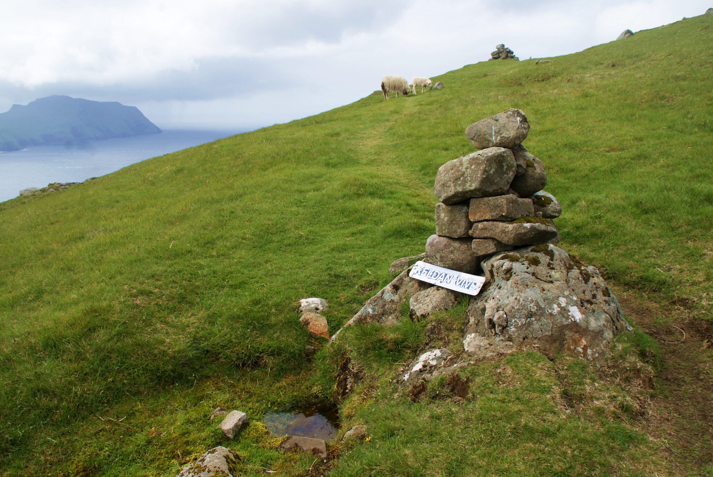
The next plaque you will come across marks a small water source known as Vigda, associated with the story of a sick child who had to be carried over the mountain from Gásadalur to the doctor in Bøur. On the way there, the child’s condition got much worse. It was widely thought at that time that children would not go to heaven if they died before they were baptised. The priest who was accompanying the party therefore decided to consecrate the water source, and the child was baptised right there on the mountain. Unfortunately, the story does not say what happened to the child, but the water source is thought to have a beneficial effect.
Descending with a view to Gásadalur
Once you have reached the water source, the path evens out and takes you over flatter ground on the mountain plateau. The descent to Gásadalur starts at the end of the plateau, and this part of the path is also quite difficult. The excellent, firm paths from the climb and plateau are now replaced by stony, rough ground. Please take care here not to send stones rolling down and possibly injuring other hikers, and remember that both the small and larger stones may be loose, so tread carefully.
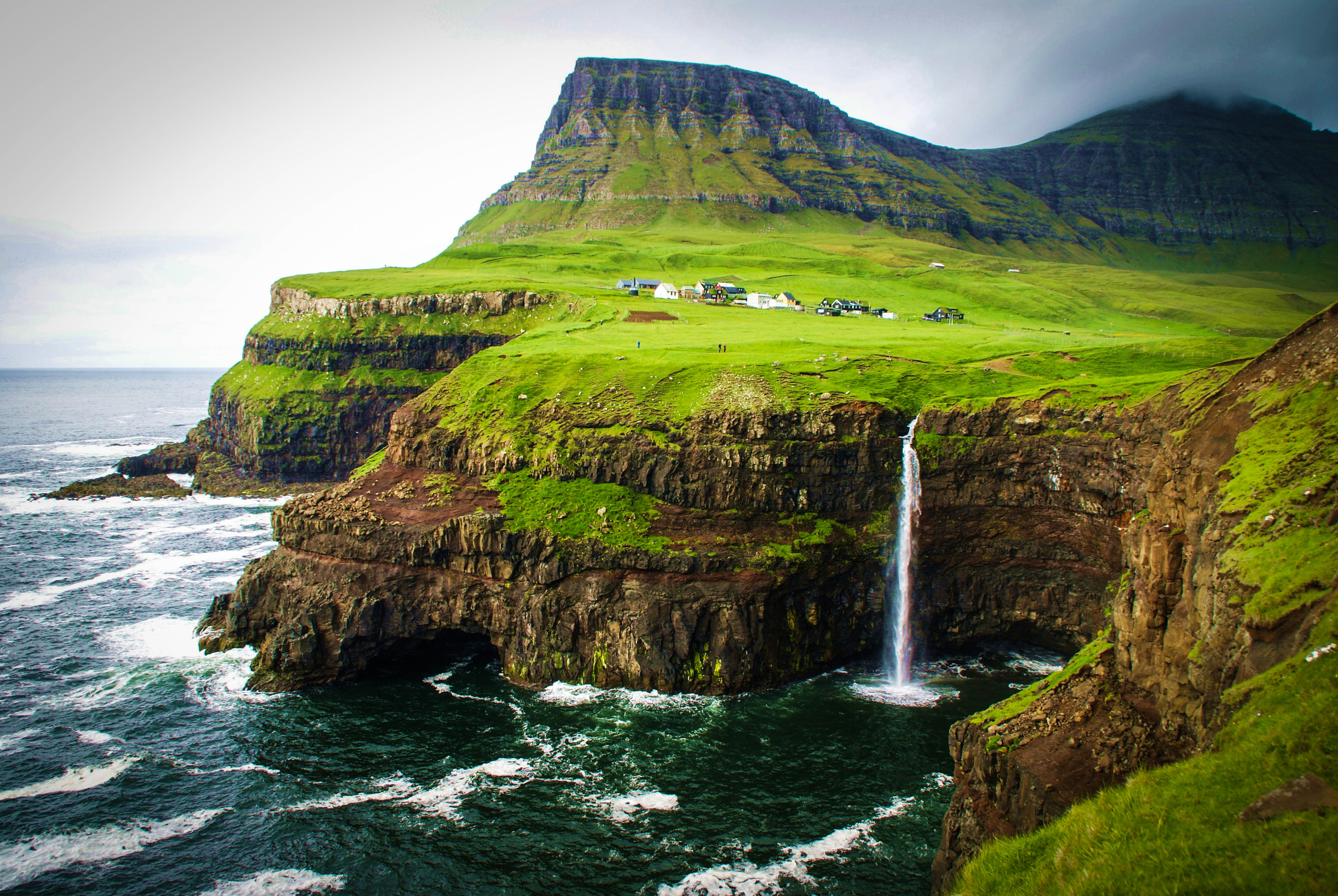
The descent does provide beautiful views of the village of Gásadalur, but the absolute best viewpoint on the entire hike is when you reach the foot of the mountain and follow a path out to the clifftops. From here, you have an outstanding view of the village, the green lowlands and a beautiful waterfall that tumbles directly down the rugged, pointed cliffs and into the sea. The view is so breathtaking in its beauty that it alone is well worth the hike over the mountain!
Discover the Faroe Island by foot
A hike on the old postal route from Bøur to Gásadalur takes around 2 to 2.5 hours. Take plenty of breaks to catch your breath and the wonderful views, at least on the ascent, and spend some time in Gásadalur to enjoy a meal or something to drink before continuing your exploration of the Faroe Islands. If you would prefer a guide to accompany you on the hike, or other outdoor activities on the Faroe Islands, we can warmly recommend Reika Adventures for help with guided hikes, abseiling, camping etc.
More on the Faroe Islands:
– The local and traditional taste of the Faroe Islands
My journy to Faroe Islands was a part of the campaign #MyFaroeIslandsHome and was a collaboration between the international influencer network iAmbassador and Visit Faroe Islands. The campaign was ment to focus on how visitors to the Faroe Island experienced the everyday life, the nature, culture and the food. All opinions and meanings is as always my own.

